NEWS
Monitoring of the disaster area -Great East Japan Earthquake
2015/03/10
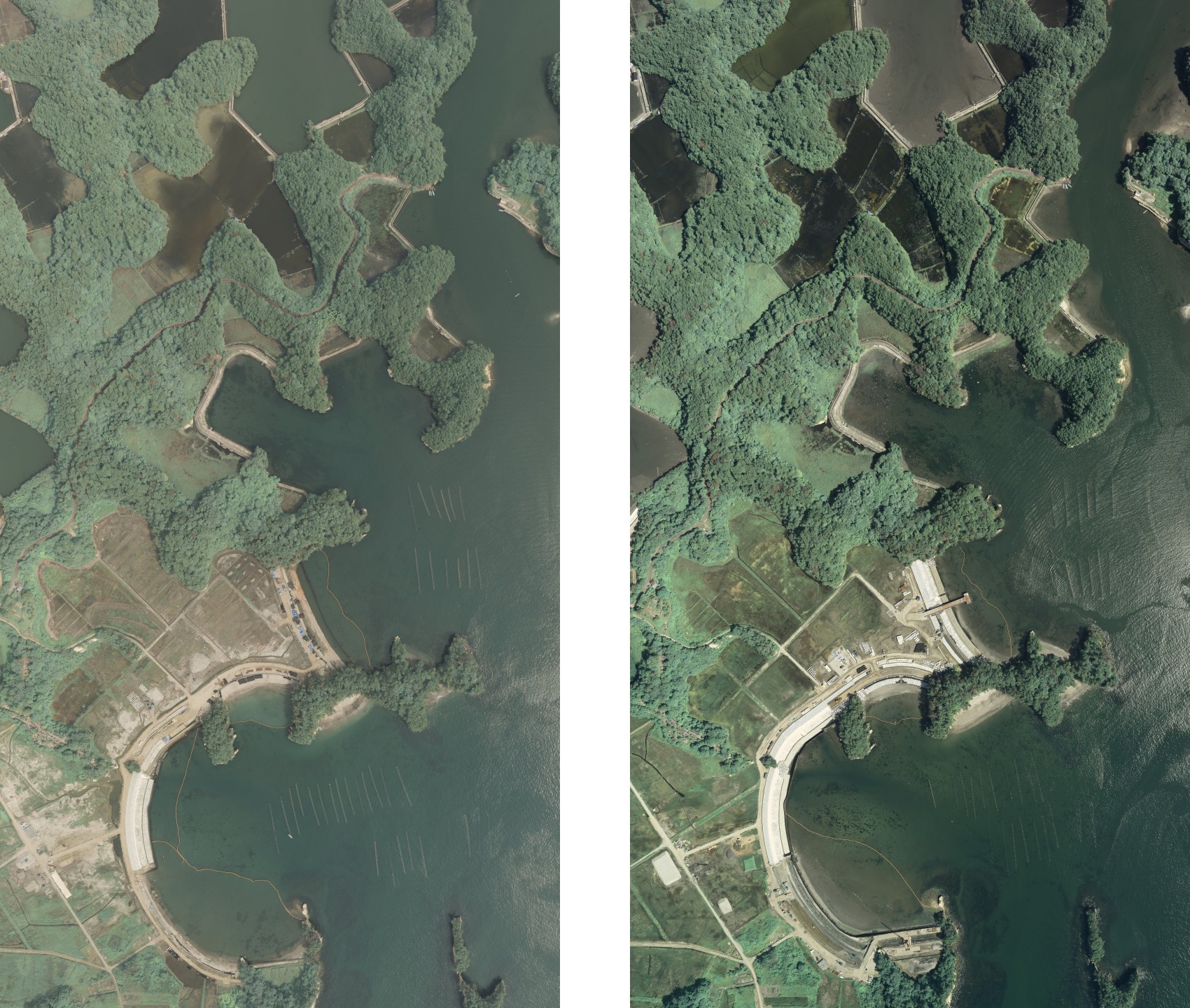
AAS is periodically taking aerial photographs of the areas affected by the Great East Japan Earthquake. These photographs has been opened to the public.
The aerial photographic digital data of the disaster area will be provided free of charge to researchers throughout the world, for purposes of study. As a condition of use,you must display "(c)Asia Air Survey" in the photographs.
Aerial photographs of the disaster area will be provided to the government and municipal offices of the relevant cities, towns and villages.
The data may also be used for other purposes.
->Phase 2 monitoring of the disaster area (July-October 2014)
->Phase 1 monitoring of the disaster area (August 2013)


