- HOME
- RECENT ACTIVITIES
- The Red Relief Image Map of Oso Landslide in Washington State
The Red Relief Image Map of Oso Landslide in Washington State
Asia Air Survey would like to offer our deepest sympathies to victims of the tragic Washington landslide.
A huge landslide occurred in Snohomish County, northwest Washington on Saturday, March 22, 2014. About 2.6 km2 size of debris from the slide destroyed many houses and buried about State Route 530 near the town of Oso. Also, the Stillaguamish River was blocked and created the landslide-induced blockage. According to the National weather Service (NWS), the landslide may concern about flooding upstream of the landslide and flash flooding downstream.
As of March 28, Snohomish County confirmed 24 known fatalities, but at least 176 people were still missing.
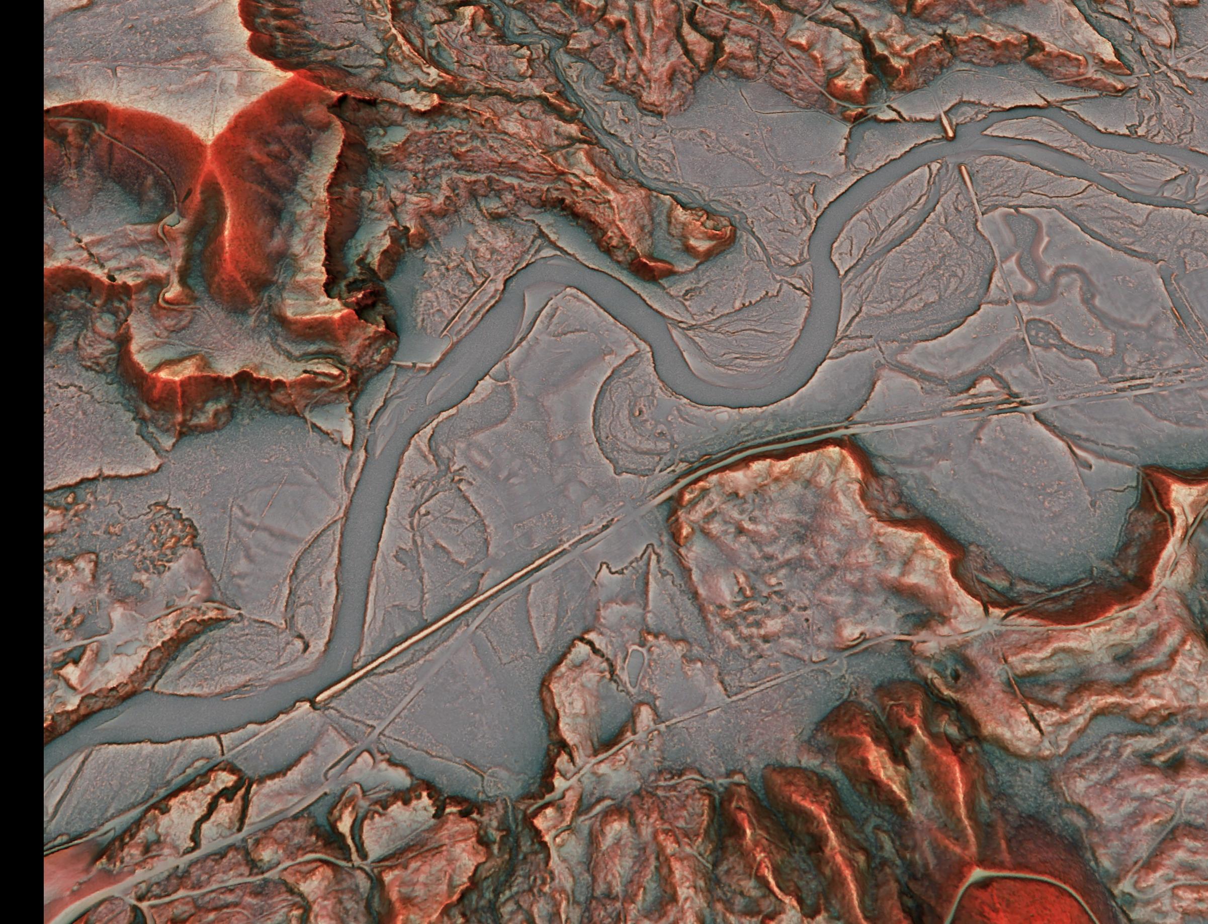
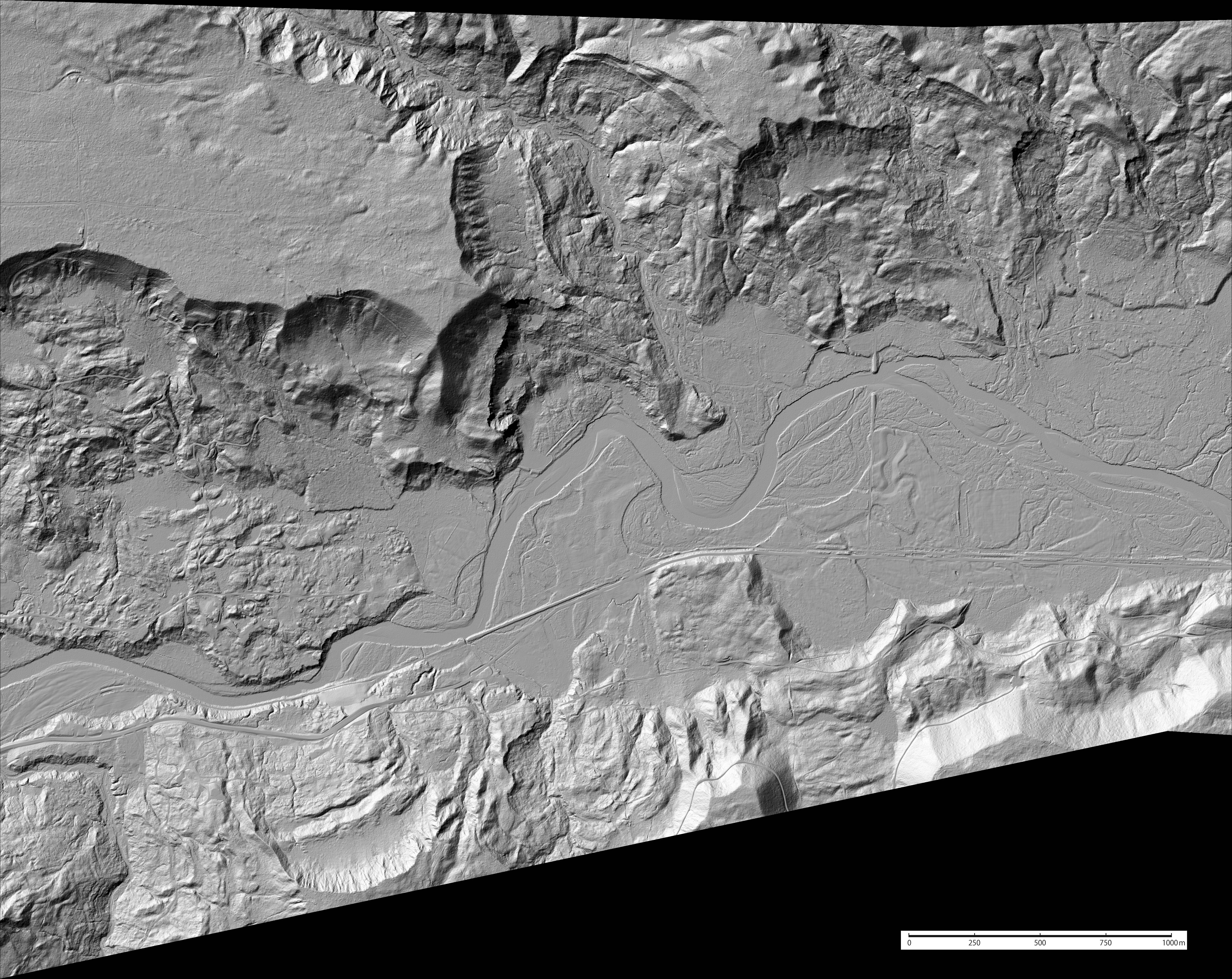
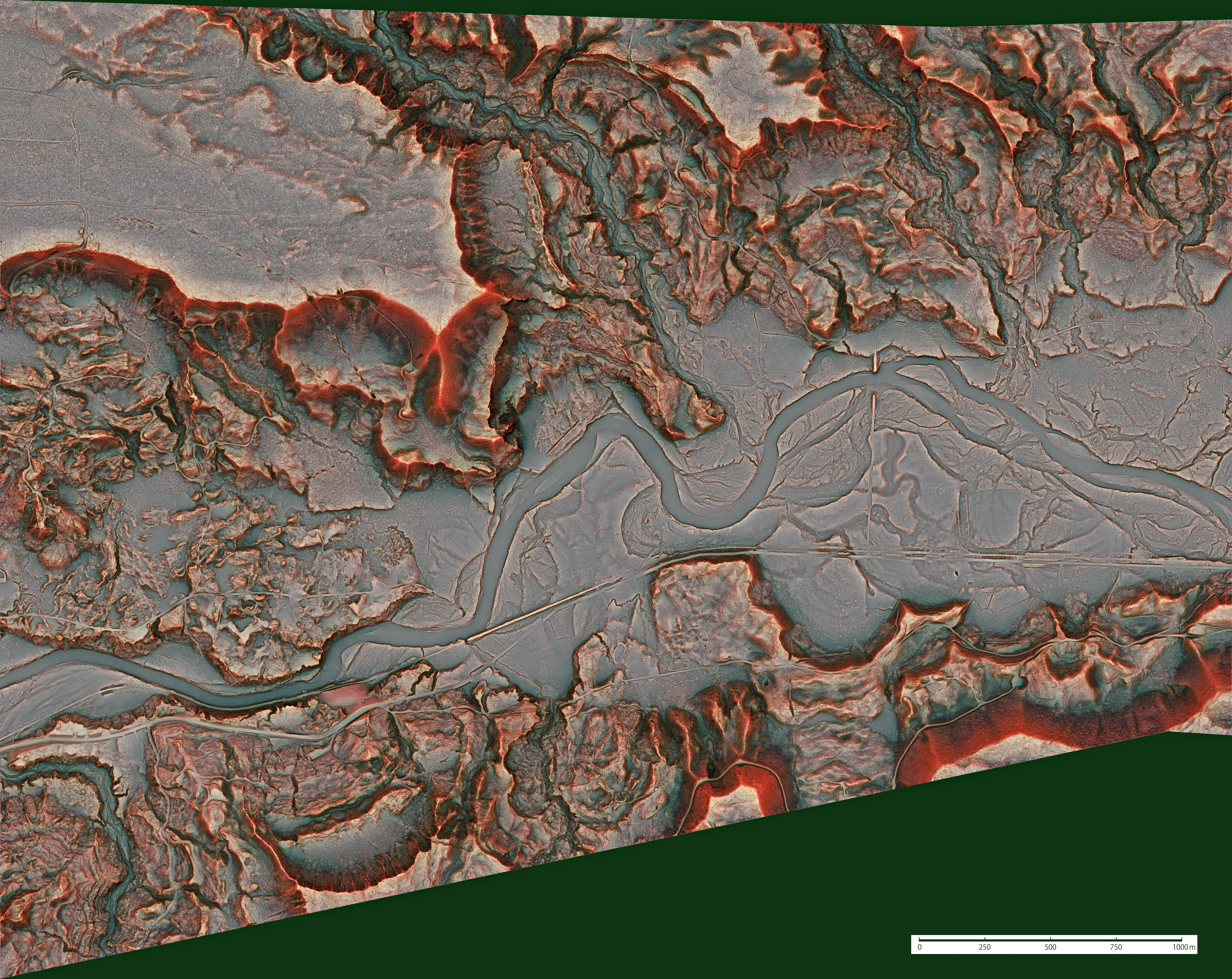
Under courtesy of the Puget Sound Lidar Consortium thanks to provide airborne Lidar data acquired in 2013, Asia Air Survey made a topographic map with 1m grid, called Red Relief Image Map (RRIM), which is our patented technique visualizing topographic feature.
Asia Air Survey provides the RRIM with world file in this area. We believe understanding actual topographic feature and landslide mechanism reduce victims of disaster.


DOWNLOAD
Copyright
Asia Air Survey Co., Ltd., holds the copyright to all text and images published on this page. Information obtained from this page must not be reproduced, sold, published or broadcast without permission.
