
Connecting society
with spatial information technology,
Creating a sustainable future
for the planet.
Our Business
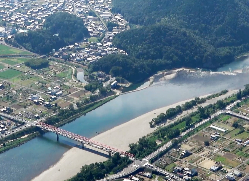
Watershed Management
To drive behavioral change among watershed stakeholders, we apply 3D surveying and visualization technologies—including subsurface pipe diagrams—to support infrastructure planning, smarter disaster response, and digitalized maintenance using UAVs and AI, under the concept of “Watershed Business Intelligence.” As part of comprehensive watershed management, we promote technologies that integrate disaster risk reduction and environmental protection—such as green infrastructure solutions and river environment management using point cloud data and 3D models.
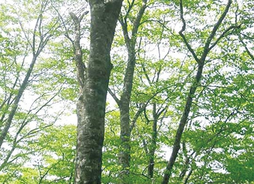
Forestry & Environment
We apply our expertise in forestry and environmental technologies together with geospatial solutions to support ICT-based forestry, 30by30 initiatives, and decarbonization efforts. In forestry, we support the collection and centralized management of forest data, enabling sustainable forestry through collaboration between public agencies and forestry operators—positioning forest information at the upstream end of the timber value chain. In the environmental sector, we are developing systems for multifunctional ecosystem assessment and monitoring, and enhancing green infrastructure surveying and evaluation technologies.
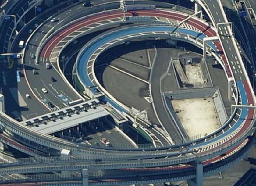
Roads & Railways
We are enhancing sensing, spatial analysis, and data management technologies to improve road and railway facility management. In the road sector, we focus on aging infrastructure by making better use of existing data and promoting robotic inspections and preventive maintenance to boost efficiency and sophistication in maintenance operations. We are also working to reduce field labor through AI-based feature extraction and improved mapping accuracy using point cloud data and imagery. In railway disaster prevention, we promote slope stabilization using LiDAR data and aim for labor-saving solutions through virtualization and robotics.
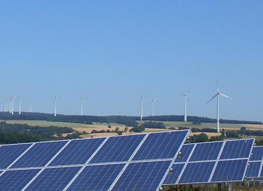
Energy
By combining geospatial technologies for energy grid with expertise in renewable energy project development, we aim to ensure a stable energy supply and support a decarbonized society as a strategic geospatial consultant. Our efforts include establishing UAV flight corridors along transmission lines, applying advanced technologies for efficient maintenance, and strengthening spatial data clearinghouse functions to further enhance energy services.
Government Services
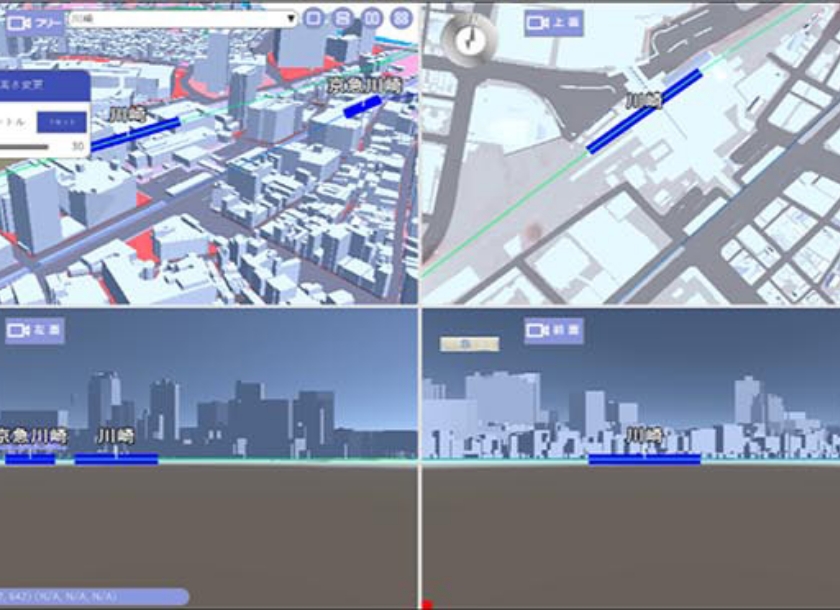
Leveraging our industry-leading capabilities in spatial data creation, analysis, and visualization (geospatial DX), we promote 3D spatial data management through participation in initiatives such as Project PLATEAU and support for the Digital Garden City Nation concept, which will transition to the “Regional Economic and Living Environment Revitalization Grant” from FY2025. In response to increasingly severe natural disasters, we are also advancing disaster information systems that enhance emergency headquarters functions via ICT, enabling real-time data collection and visualization by linking with a range of platforms and services. These efforts contribute to local government DX through enhanced public sector support.
Post-disaster Recovery
We continue to drive Recovery DX to support the restoration and revitalization of the Fukushima region. In decontamination projects, we are integrating construction AI, AR/MR technologies, and advanced equipment. Wearable sensing devices—originally used in sports—are also applied to monitor worker safety and health, helping to ensure safer work environments. We are also working to implement efficient monitoring through automated facility inspection and remote surveillance using the GSW drone corridor system, with applications in regional disaster prevention, infrastructure maintenance, and enhanced resilience.
Global Project

News
- Asia Air Survey Research Paper Accepted for Presentation at CVPR 2026 Image Matching Workshop
- Announcement of Kazuo Oda, Fellow of Asia Air Survey Co., Ltd., as President of the Japan Society of Photogrammetry and Remote Sensing (JSPRS)
- Asia Air Survey CVC Invests in Zevero, a Global Startup Offering Carbon Management Platform Services
- Asia Air Survey CVC Invests in Dronamics, a Developer of Unmanned Cargo Aircraft and Transportation Services